96 The Promenade, Peacehaven BN10 8LN
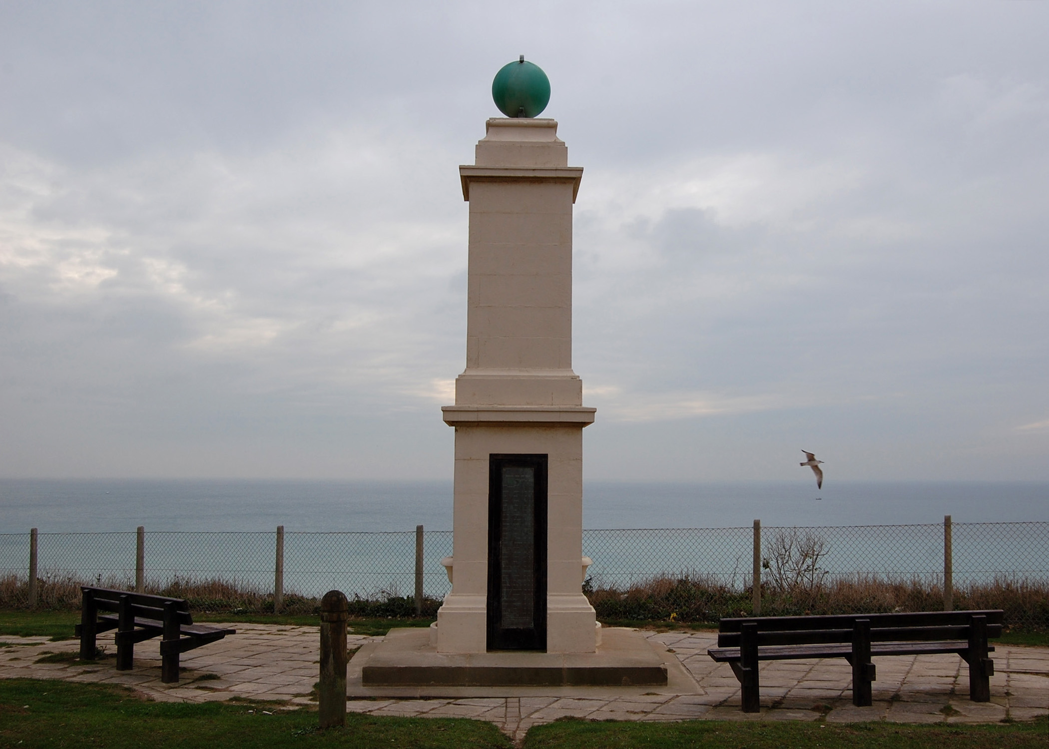
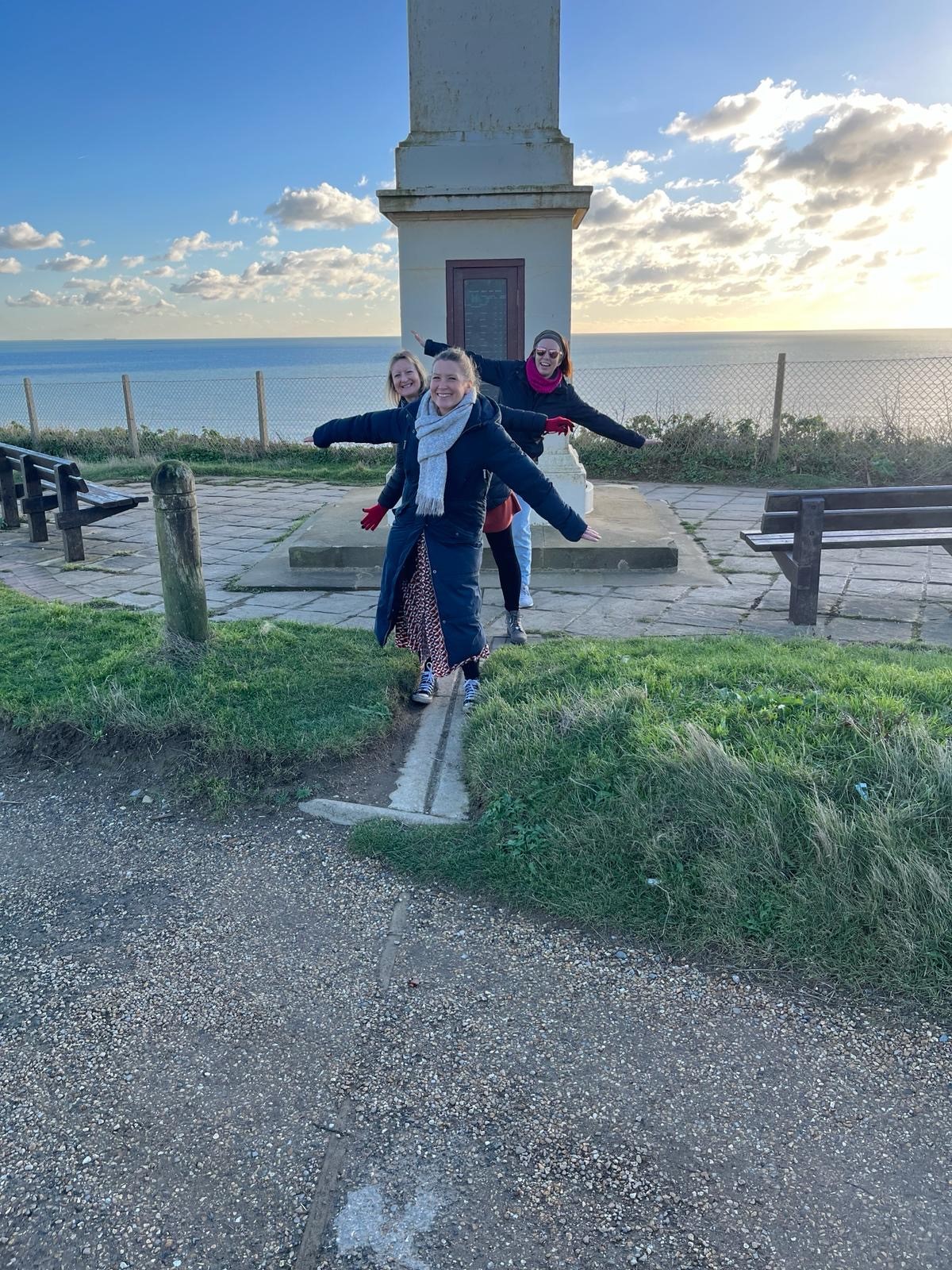
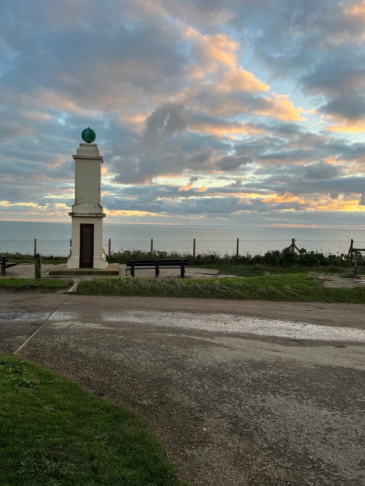
The Meridian Monument in Peacehaven, marks the point on the South Coast where the Greenwich Meridian enters and exits the country.
An early Peacehaven resident, Commander Davenport RN, realised that the Town lay on the Greenwich Meridian and after discussion with other members of the Council it was agreed to mark the line at Peacehaven. A Monument was proposed and funds were raised from the public to pay the costs. A precursor to the Monument stood on the cliff astride a concrete strip that ran to the cliff edge. It had signs showing the distances to several well-known capital cities.
The finished Monument was erected at a cost of £300.00; the majority raised by public subscription with £100.00 from an anonymous donator. Local VIPs were invited to the official opening which was introduced by the Astronomer Royal, and the Monument was unveiled on 10 August 1935.
The Monument carries the following inscription, Peacehaven George V Memorial – erected by the inhabitants in the year 1936 to commemorate the beneficent and illustrious reign of their beloved sovereign 1910 -1936 and to mark Peacehaven’s position on the prime meridian of Greenwich.
The Monument was moved 30 foot north from its original position, when the coastal defence works were carried out during the 1960s.
Interestingly, Peacehaven also remains the only town in the UK to be named after peace.
The Greenwich Meridian runs for more than 200 miles through Britain – from Peacehaven in East Sussex to near Withernsea in East Yorkshire– but generally speaking, it cannot be seen. It is an invisible line for there is simply no need for it to be physically marked out on the ground.
However, there are places where it can be visibly identified. The best known of these is at Greenwich itself, where the Prime Meridian, as defined by Airy, is marked by the brass strip at the Observatory site – the spot where people are often photographed straddling the eastern and western hemispheres.
Several other features, plaques or markers have also been placed by individuals, societies and authorities at various other points along the route.
One Meridian marker, The Chingford Pillar, was erected in 1824 on the edge of Epping Forest on the earlier Bradley line. A plaque on that pillar indicates that Airy’s later definition set the Meridian 19ft (5.79m) to the east – a point also marked by an obelisk. Like the Chingford Pillar, significant features marking the Meridian at Cleethorpes and Peacehaven are also based on the Bradley line, as are many other smaller `Meridian markers’ in the country. However, in recent years, new markers have tended to be based on the Airy line.
In very simple terms, from the South Pole the Greenwich Meridian crosses Antartica, part of the African continent, and continues across Spain and France, until it ‘enters’ Britain at Peacehaven.
The line then heads north to Greenwich, crosses the Thames to Leyton and Walthamstow, then continues just east of Enfield, Cheshunt, and Ware and just west of both Cambridge and March.
It then travels to Boston and Louth in Lincolnshire, before continuing just east of Cleethorpes, where the line heads north over the Humber Estuary. From there, it continues north and ‘leaves’ Britain just north of Withernsea, where it then crosses ice and water until it reaches the North Pole.
Why not meander along our Peacehaven Meridian Line Meander? >>
In the same way that the Equator separates the Northern and Southern hemispheres, the Greenwich Meridian divides the East from the West.
The zero degrees longitude line runs from the North Pole to the South Pole, passing directly through the Old Royal Observatory building at Greenwich in South East London. It is the basis for timekeeping and navigation throughout the world.
It is, in fact, one of a countless number of Meridians in the world – every possible line of longitude is one – and until a little over a century ago, many different ones were adopted by different countries for map-making, navigation and timekeeping.
Even today, it can be confusing as there are four Meridians all passing through the Old Royal Observatory.
The earliest is Flamsteed’s, named after the first Astronomer Royal, which was established in 1675. In 1725, Edmund Halley, the second Astronomer Royal established a second Meridian.
The third was defined by another Astronomer Royal, James Bradley, in the mid-18th Century, and is still used as the basis for map-making in Britain today.
The fourth Meridian was established in 1851 by yet another Astronomer Royal, Sir George Airy, who set-up new measuring equipment in a room alongside Bradley’s original equipment. It is the positioning of this neighbouring equipment, just 5.79 metres (19ft) away, which eventually became the basis for international time. Due to the convergence of Meridians of longitude towards the poles, Bradley’s Meridian is 5.9m west of Airy’s where they cross the South Coast of England, and 5.5m west where they cross the East Coast.
As the pace of development and travel accelerated in the 19th Century, it became clear there would have to be a common, world-wide standard for timekeeping. In 1884, 25 countries reached agreement at a conference in Washington, USA, that Airy’s Greenwich Meridian would be adopted as the `Prime Meridian’ – zero degrees – from which time could be set and from which other points of longitude could be calculated.
Over a period of many years, countries which had not necessarily been party to this original agreement accepted and adopted the decision.
So since 1884, the Airy line has been The Greenwich Meridian, although for practical mapping purposes in Britain (excepting hydrographic charts) the Bradley line continues in use as the zero meridian. The difference between the two is known and well defined – and is important scientifically – but for most day-to-day purposes has no real consequence.
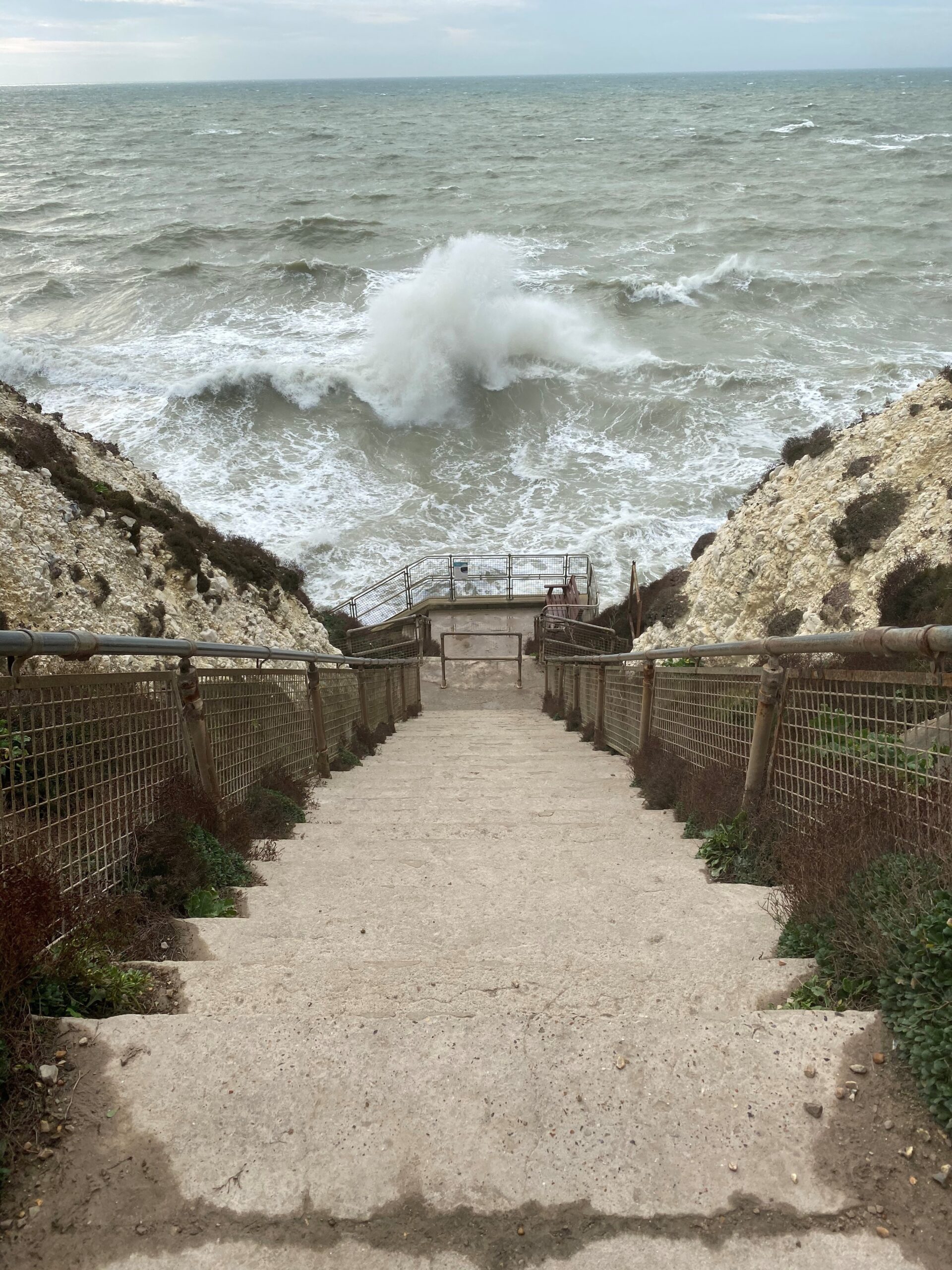
The Bastion Steps are located at the end of Steyning Avenue and were built soon after World War I to give Peacehaven residents direct access to the beach below via steps, all 188 of them!
Charles Neville, the Founder of Peacehaven, left quite a wide, grassy strip between his estate and the sea to allow people to walk and enjoy the sea views.
Why not enjoy an Undercliff, or Clifftop Walk >>
About 120,000 years ago, the channgel between britain and the European conteinent finally opened naturally – the white cliffs on the other side still match our own. Now it is probably the busiest sea-lane in the world, with about 500 vessels going through each day.
Look south-west to view the Rampion Wind Farm, originally featuring 116 turbines since 2018, and powering approximately 409,000 homes. The windfarm expansion, Rampion 2, significantly increases this capacity.
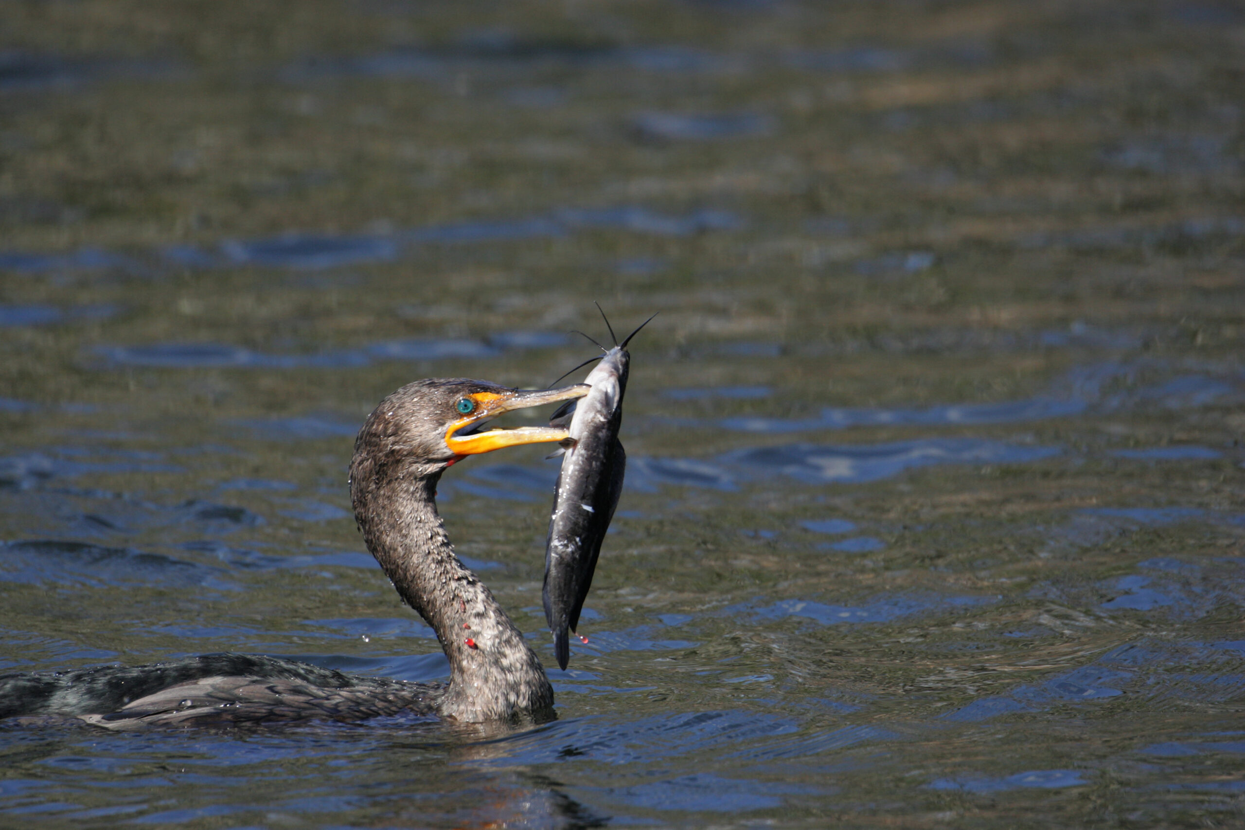
Look closer to shore and you might catch a glimpse of dolphins – or a seal. At low tide, little egrets and oystercatchers often join the gulls; on the foreshore and the cliffs, rock pipits and other birds. Depending on the tide, and shifting sand and shingle, you can sometimes see giant ammonites on the foreshore between the Bastion Steps and the Friars Bay Steps. The sea is gradually eroding them, but others may be revealed.Parapuzosia and they grew very large; in fact, the largest known (although the largest example was found in Germany). They lived 80-85 million years ago and their closest living relative is the Nautilus. The chalk cliffs and foreshore are part of a Site of Special Scientific Interest (SSSI) and the fossils should not be hammered or removed. From this point, why not take a stroll along the undercliff or clifftop walk. Alternatively, venture further inland and enjoy the circular Peacehaven Meridian Line Meander.
Responsive site designed and developed by